Understanding Cloud Patterns
Clouds are the most dynamic and visible feature in EPIC imagery. Understanding cloud patterns helps us appreciate Earth's weather systems and climate processes.
Why Clouds Dominate EPIC Images
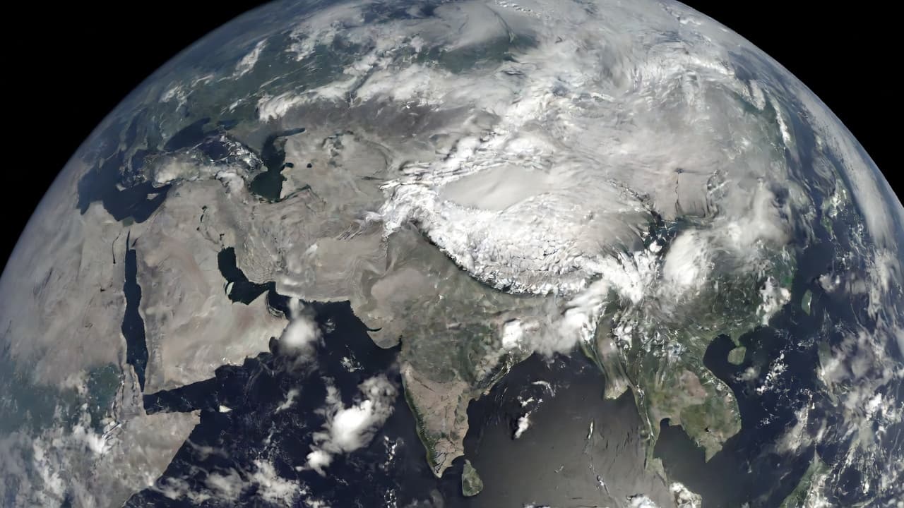
Clouds appear prominently in EPIC imagery because they are highly reflective. Water droplets and ice crystals in clouds scatter sunlight much more effectively than land or ocean surfaces, making them appear bright white against the darker backgrounds of land and water.
This reflectivity is why clouds often cover 50-70% of Earth's surface in satellite images, creating the ever-changing patterns that make our planet look alive from space.
Major Weather Systems
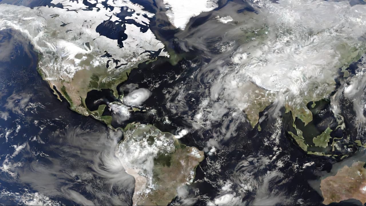
EPIC images frequently capture large-scale weather systems that shape global climate. Tropical cyclones appear as massive spiral cloud formations, while extratropical cyclones show as comma-shaped cloud systems stretching across continents.
Jet streams, the high-altitude wind currents that steer weather systems, can sometimes be inferred from the alignment of cloud bands and the movement of weather fronts.
The Intertropical Convergence Zone (ITCZ)
The ITCZ is a band of heavy cloudiness and precipitation that circles Earth near the equator. This zone of converging trade winds creates persistent cloud cover and is a major driver of global weather patterns.
The ITCZ migrates seasonally, following the Sun's position, and is clearly visible in EPIC images as a bright band of clouds around the equator.
Seasonal Cloud Shifts
Cloud patterns change dramatically with the seasons. In Northern Hemisphere winter, extensive cloud systems develop over the North Atlantic and Pacific Oceans, while summer brings clearer skies over continental landmasses.
The monsoon seasons create massive cloud systems over South Asia and other regions, while polar regions show seasonal variations in ice cloud formation.
Land, Ocean, and Cloud Reflectivity
Different surfaces reflect sunlight differently in EPIC images. Clouds are the most reflective (bright white), followed by ice and snow. Oceans appear dark blue to black, while deserts and grasslands show as tan or brown.
Forests appear darker green, and urban areas can sometimes be distinguished by their geometric patterns, though EPIC's resolution limits detailed city identification.
Cloud Types and Heights
EPIC's multi-spectral imaging can distinguish different cloud types. High-altitude cirrus clouds appear wispy and thin, while low-level cumulus clouds look puffy and bright. Storm systems show layered cloud structures.
The camera's near-infrared channels help determine cloud heights, providing data about atmospheric layering and storm development.
Weather Fronts and Boundaries
EPIC images often show the boundaries between different air masses. Cold fronts appear as sharp lines where dark clouds meet clearer skies, while warm fronts show more gradual transitions.
These boundaries are crucial for understanding weather patterns and can help predict storm movements and precipitation.
Educational Applications
Cloud pattern analysis is excellent for education. Students can learn about meteorology by observing real cloud formations, and the images help visualize concepts like the water cycle, atmospheric circulation, and climate zones.
Teachers can use the daily images to create lessons about weather forecasting, climate change, and Earth's systems.
Climate Change Indicators
Long-term observation of cloud patterns can reveal climate trends. Changes in cloud cover, storm frequency, and seasonal patterns provide valuable data for climate scientists studying global warming effects.
The archive of EPIC images serves as a baseline for monitoring how Earth's cloud systems evolve over decades.